New Site
Check out Marissa's new Jewelry Website.... http://www.brokenbranches.com.
posted by jimdoesvoip at 1:10 AM
|
0 comments
![]()
![]()
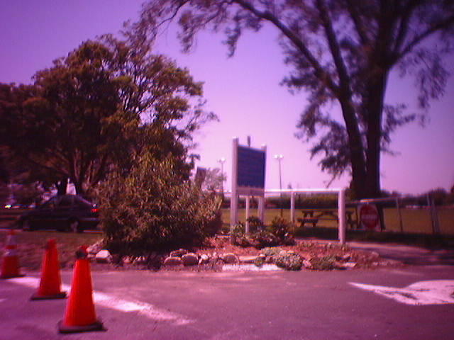
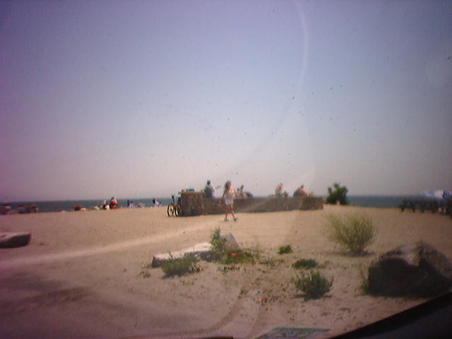
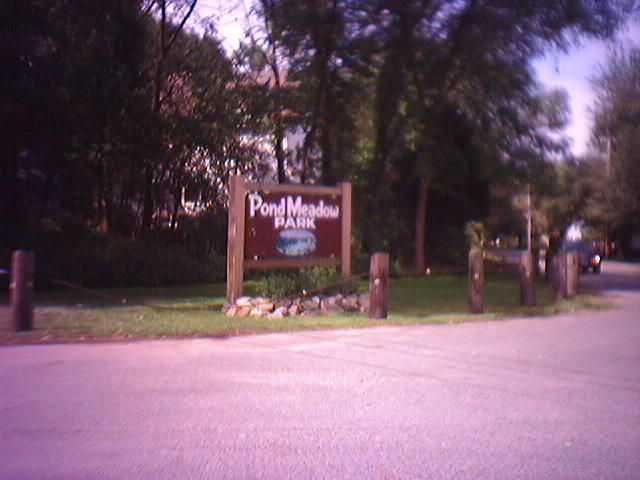
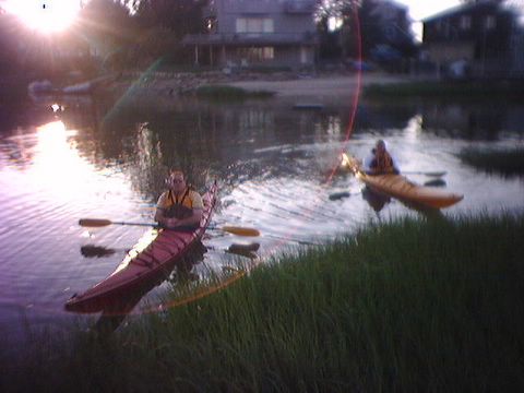
Notes from and about *Good* places to go Kayaking. We are always looking for good places to go kayaking. Good is a hard thing to define for everyone. We're not looking for crazy rapids, or miles and miles of shoreline, or what we see in most of the kayak and canoeing magazines. We are looking for a place that is close by, a place that is easy to get to, a place someone told us about, a place with great scenery, a place with something else to do, a place.... well.. I think you get the idea now.
Check out Marissa's new Jewelry Website.... http://www.brokenbranches.com.
posted by jimdoesvoip at 1:10 AM
|
0 comments
![]()
![]()
When We Went:
posted by jimdoesvoip at 8:33 AM
|
0 comments
![]()
![]()
When We Went:

posted by jimdoesvoip at 11:36 PM
|
0 comments
![]()
![]()
When We Went:
posted by jimdoesvoip at 8:44 PM
|
0 comments
![]()
![]()
When We Went:
posted by jimdoesvoip at 2:45 PM
|
0 comments
![]()
![]()
posted by jimdoesvoip at 10:44 PM
|
0 comments
![]()
![]()
When we went:

posted by jimdoesvoip at 9:53 PM
|
0 comments
![]()
![]()
posted by jimdoesvoip at 11:12 PM
|
1 comments
![]()
![]()
posted by jimdoesvoip at 1:54 PM
|
0 comments
![]()
![]()

posted by jimdoesvoip at 11:43 PM
|
0 comments
![]()
![]()
